Alpine Archaeological Consultants, Inc. Western Basin-Worland Project
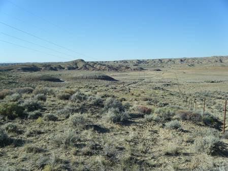
Alpine Archaeological Consultants, Inc. (Alpine) recently redocumented and tested four prehistoric sites within Western Area Power Administration’s (Western) transmission line corridor and within the lands managed by the Bureau of Land Management (BLM), Worland Field Office. The sites are all located west of the Bighorn River in the central portion of the Bighorn Basin. The area is dominated by a dissected landscape that is, geologically speaking, composed of stabilized sand dunes and eroded gravel bars on top of the 55–50 million year old deposits of mudstone and shale. Although water is sparse and the landscape appears relatively inhospitable, the gravel bars contain quartzites, cherts, and basalts that were a source for stone tools of prehistoric hunters and gathers.
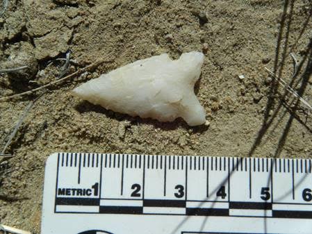
At one such site, distinct activity areas, each representing different periods of occupation, were located. One occupation was identified by darkly stained sediments and fire-cracked rock along with a projectile point that indicates a likely occupation sometime around 3,000–2,000 years ago. Alpine’s testing at this and other sites indicate a long period of occupation in the area.
Another site is large enough to encircle many individual activity areas, whether for prehistoric stone tool production or overnight camping. Approximately 20 different hearths or clusters of heated stones were documented across the site, some of which contained charcoal-stained sediments.
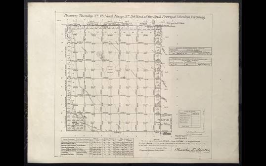
Alpine surveyors also located a previously undocumented small historical artifact scatter of purple glass fragments, simple pin-hinged tobacco tins, and less than a dozen other historical artifacts. Given the type and dates of use for the historical artifacts, as well as the location of the site on a prominent landform and that many of the original section markers date to 1913, the historical artifacts likely indicate the location of a brief break during the original 1913 survey of the area for the General Land Office. That 1913 survey was done by Wilford W. Utterback and Mark M. Kelley, who surveyed across the Bighorn Basin that summer. They also did some of the original survey work around Devils Tower. Wilford Utterback, was a slender and tall man, that was employed out of the Cheyenne office for the GLO for many summers and who apparently set a swift pace across Wyoming.